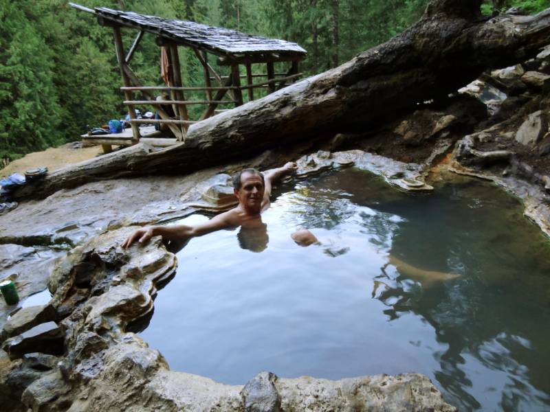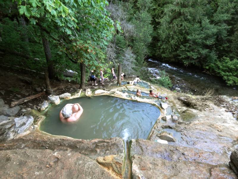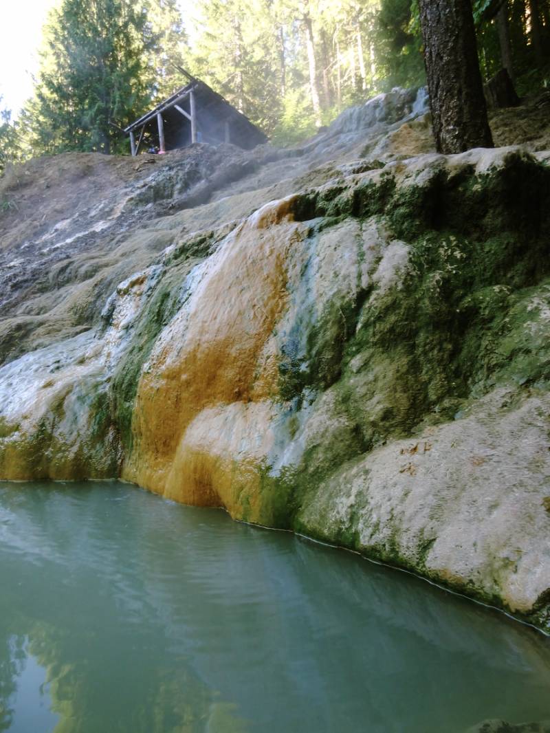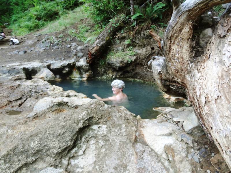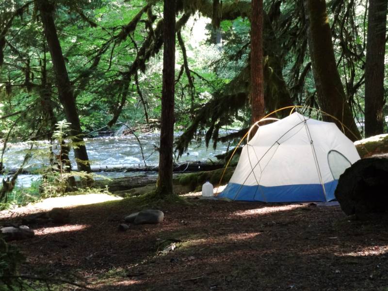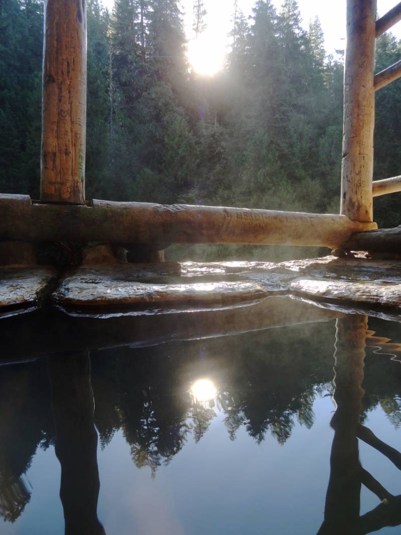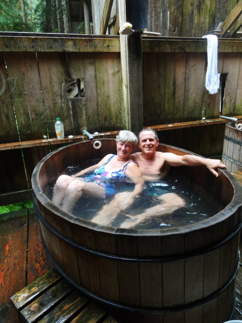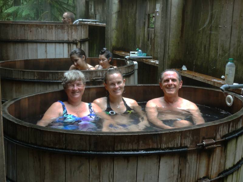
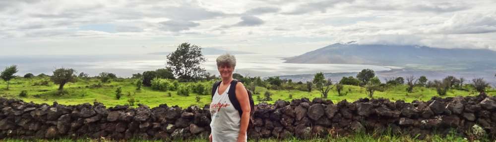


 All warm from soaking in Umpqua Hot Springs at dawn on the morning of Friday, July 25, we drove a short distance to Crater Lake National Park to have our breakfast.
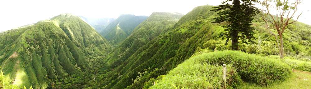
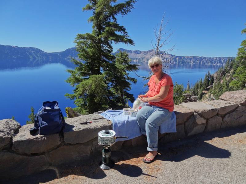
We still have the receipt showing we entered Crater Lake north entrance at 10:01 on 7/25/14; it is taped to the Crater Lake National Park map. 😉 We opted to take East Rim Drive around the lake which is slightly longer but I don’t think I have ever been on this side of the lake before. 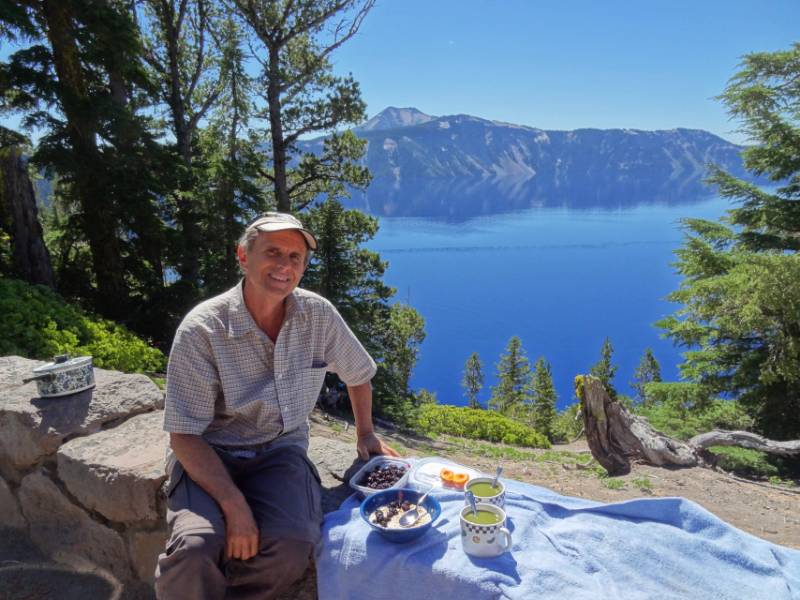 All along the crater rim road there are incredible views of the nation’s deepest lake—1,943 feet at its deepest point. We stopped in a pullout overlooking Steel Bay to make our breakfast tea. There at 7000 feet, we fired up our propane burner to boil the tea water and sat on the rock wall looking out over the sparkling blue lake.
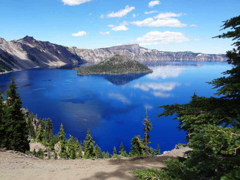
Crater Lake’s caldera was formed 7,700 years ago as Mt. Mazama collapsed forming a deep crater after the volcano violently erupted. More information about the geology can be found at nps.gov Crater Lake Geology brochure and Crater Lake geology feature facts.
Park History
“Local Native Americans witnessed the collapse of Mount Mazama and kept the event alive in their legends. One ancient legend of the Klamath people closely parallels the geologic story which emerges from today’s scientific research. The legend tells of two Chiefs, Llao of the Below World and Skell of the Above World, pitted in a battle which ended up in the destruction of Llao’s home, Mt. Mazama. The battle was witnessed in the eruption of Mt. Mazama and the creation of Crater Lake.
The Klamaths revered the lake and the surrounding area, keeping it undiscovered by white explorers until 1853. That year, on June 12, three gold prospectors, John Wesley Hillman, Henry Klippel, and Isaac Skeeters, came upon a long, sloping mountain. Upon reaching its highest point, a huge, awe-inspiring lake was visible. “This is the bluest lake we’ve ever seen,” they reported, and named it Deep Blue Lake. But gold was more on the minds of settlers at the time and the discovery was soon forgotten.
Captain Clarence Dutton was the next [white] man to make a discovery at Crater Lake. Dutton commanded a U.S. Geological Survey party which carried the Cleetwood, a half-ton survey boat, up the steep slopes of the mountain then lowered it to the lake. From the stern of the Cleetwood, a piece of pipe on the end of a spool of piano wire sounded the depth of the lake at 168 different points.
Dutton’s soundings of 1,996 feet were amazingly close to the sonar readings made in 1959 that established the lake’s deepest point at 1,932 feet.
William Gladstone Steel devoted his life and fortune to the establishment and management of Crater Lake National Park. His preoccupation with the lake began in 1870. In his efforts to bring recognition to the park, he participated in lake surveys that provided scientific support. He named many of the lake’s landmarks, including Wizard Island, Llao Rock, and Skell Head. Steel’s dream was realized on May 22, 1902 when President Theodore Roosevelt signed the bill giving Crater Lake national park status.”
— Provided by the National Park Service on Oregon.com
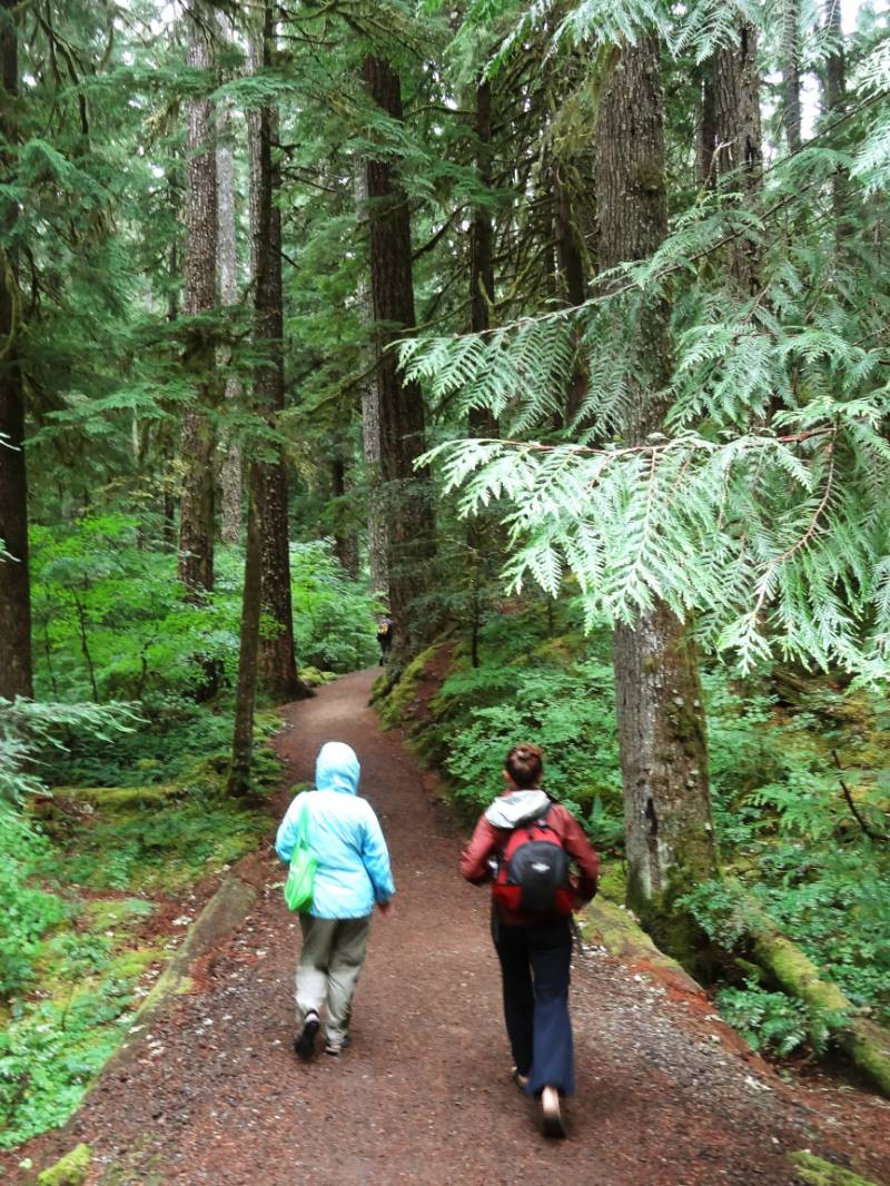
Hike to the Pinnacles
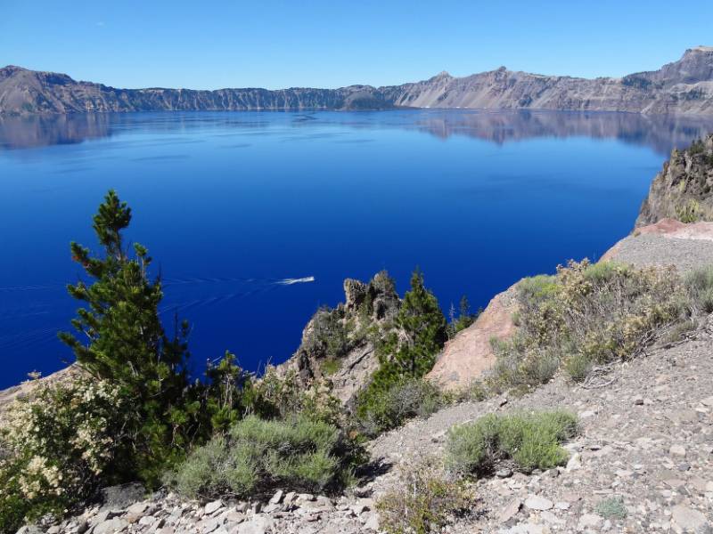
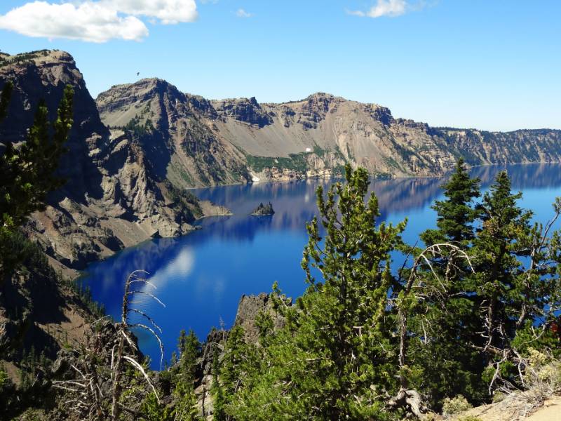
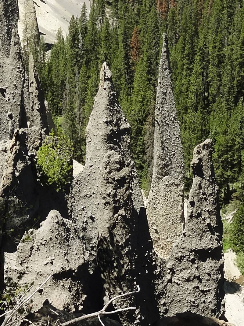 We stopped at many of the overlooks to view the lake and various named geological features such as Pumice Castle, Sentinel Rock and Phantom Ship. Fun fact from the NPS website: “Seven different trees live on Phantom Ship, an island in Crater Lake. There are also colonies of violet green swallows, and several varieties of wildflowers and lichens living there.” There was a variety of park hikes listed in the guide and we settled on an easy one mile walk to the Pinnacles because of the unique description: “The Pinnacles are ‘fossil fumaroles’ where volcanic gases rose up through a layer of volcanic ash, cementing the ash into solid rock.”
 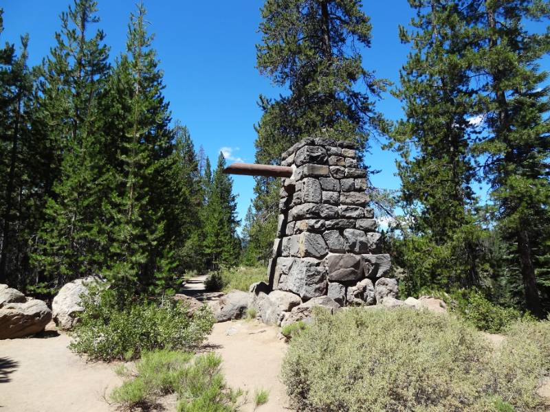 The softer loose ash has eroded away over the years leaving the chimneys and spires lining the side of the canyon. The trail goes right to the park boundary. A sign in front of a 10 foot constructed stone pillar said this trail was the original east side entrance to the Park where Teddy Roosevelt would enter on horseback. The wood pole still projected out pillar near the top where it would have held the National Park sign.
The Depths of Crater Lake
“Beneath Crater Lake National Park lies a reservoir of restless magma. … In the summers of 1988 and 1989, a one-person submarine made 47 separate dives to the bottom … [the] purpose was to collect data on the lakes’ hydrology, biology, and geology, and to resolve a controversy over geothermal energy development that was brewing on the borders of the national park. …
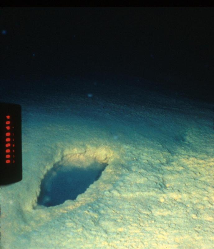
[The Deep Rover submarine was flown in by helicopter onto the lake. Three men alternated dives into the darkness.] What they found was surprising—and spectacular. Colonies of yellow-gold bacteria grew in vast, puffy mats, often around pools of aqua-blue water. Probes inserted into the bacteria mats registered temperatures as high as 66°F, much warmer than the surrounding 38°F lake water. … “Bacteria were not the only life forms found to be thriving at great depths in Crater Lake. A variety of worms, insects, and tiny crustaceans were spotted as well. Although not dependent on the hydrothermal vents, they were remarkable for their ability to tolerated the extreme water pressures found in the lake’s deepest basin 1,943 feet below the surface. Some were also notable for their life history. Adult flies of the genus Heterotrissocladius, for example, drop their eggs into the lake. The eggs sink slowly to the bottom, hatch into larvae, feed on lake floor sediments for perhaps two to three years, swim back up to the surface (pupating along the way), then emerge as winged adults. Two to three days later, the adults lay eggs and die, and the cycle starts again. …
[T]he sub visited only 2% of the lake floor. Many secrets surely remain in the dark, water, depths of the collapsed volcano.” Crater Lake Visitors Guide newspaper Summer/Fall 2014
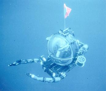
Neil and I have always loved diving and were very intrigued by the exploration of the Crater Lake floor. The National Park Service Crater Lake website has some cool pictures of the Deep Rover and the crater bottom:
- Underwater Exploration in Crater Lake
- Photo Gallery The deep sea rover at Crater Lake
- Photo Gallery Images of the bottom of Crater Lake from the Deep Rover
The Crater Lake National Park aquatic ecologist (since 1985), Mark Buketnica, was one of the three men making the scientific dives in the Deep Rover. Bukentnica published an interesting first hand (human readable) article on the Crater Lake Institute Nature Notes “Why Enter a Sleeping Volcano in a Submarine?”
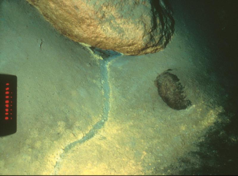
“Another interesting discovery was the presence of discrete pools of saline water on the lake floor that had a distinct blue color. The first “blue pool” discovered was named Llao’s Bath by Jack Dymond, after the legendary spirit of the lake. The pool resembled an oblong bath, 10 to 13 feet long and 3 to 5 feet across. It appeared to be elevated on one side by precipitates, and was surrounded by golden-colored bacteria. This pool and others like it are composed of hydrothermal water with salt content as much as ten times higher than the surrounding lake water. The presence of the salts makes the liquid in the pool heavier than lake water, and the pools appear blue because of the optical properties of the chemically enriched fluids. …
We were surprised to find another area of hydrothermal activity below the Palisades along the northeast caldera wall during one of the dives. Small stream-like features originated from underneath boulders or rock outcrops along the base of the caldera wall. The stream-like channels were two to three inches in width and equally as deep. Although no flow was observed at the time, the channels formed networks which exhibited classic erosional flow patterns. The channels were lined with brilliant gold bacteria and often terminated down slope in a series of blue pools. Twenty or more pools with associated islands, embayments, and delta-like features were observed in an area approximately 160 feet wide and 320 feet long.” “Why Enter a Sleeping Volcano in a Submarine?”
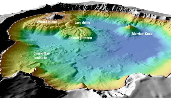 The US Geological Survey has interesting shaded-relief bathymertry images of the lake floor and more detail about the lake and caldera formation. USGS Crater Lake, Oregon Overview and USGS Shaded-relief bathymertry image of Crater Lake
California Ho
We left the park on the south road and then drove west crossing over I5 at Grants Pass as we headed to the California coastal redwoods. We were angling our way south planning to take the coast route the rest of the way to LA.
Photo Credit: Neil Rhoads, NPS, USGS
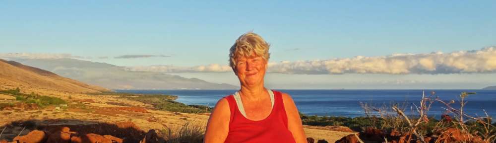
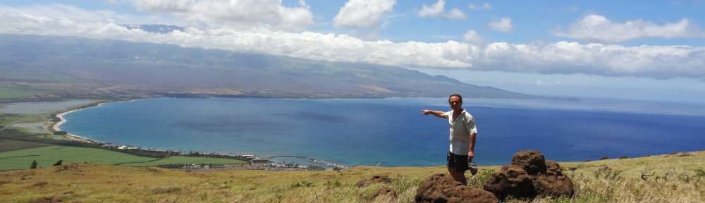
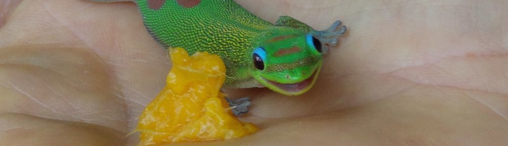
Photo Slider: This post has a unique slider with pictures from this adventure only. I hope you click into the webpage so you can see the slider in action.
Photo gallery below:
Clicking on any photo thumbnail brings up the full size photo with a description. To easily see them all, use the arrow buttons or keys to move through the full size gallery photos with descriptions. If you are receiving this in an email and don’t see a photo gallery below, please click into my webpage to view all the photos!