


 Thursday morning (July 17) at Bull River campground we continued to enjoy sunny but somewhat hazy skies as we finished our breakfast and packed up the car. Our plan was to drive through the Idaho Panhandle and on through Okanogan National Forest to the North Cascade National Park all in one day if we could. We knew it would be a long drive day. We called Helene to say we were planning to get to Seattle earlier than previously planned. She warned us about all the forest fires and road closures. That was the first we had heard of them! Those thunderclouds we photographed on our Missoula Blue Mountain Monday evening walk had brought dry lighting to Washington and Oregon and started numerous forest fires. Now we knew that the haze we had been seeing in the air the last few days was forest fire smoke blowing into Idaho and Montana!
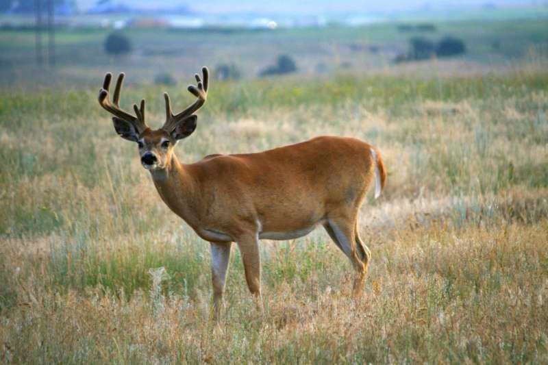
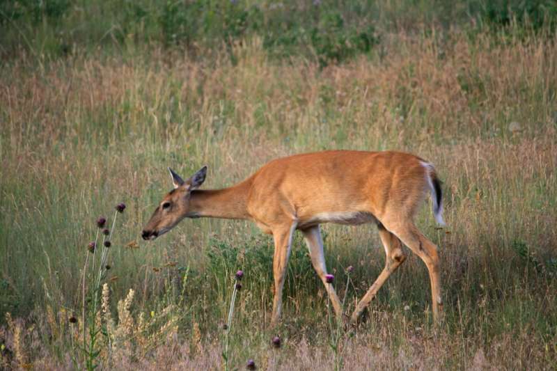
Idaho Panhandle
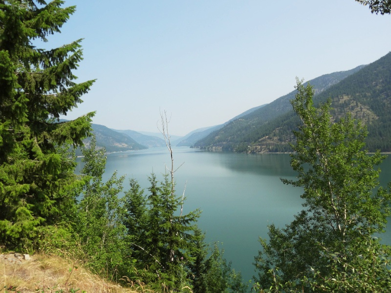
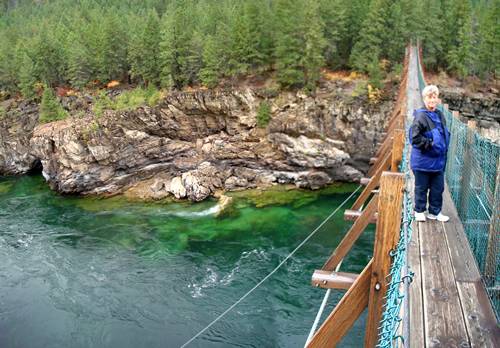
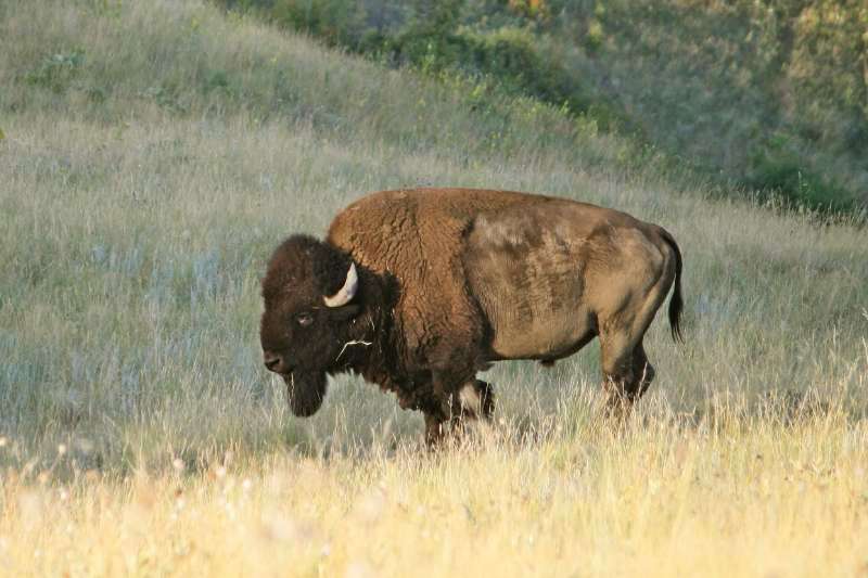
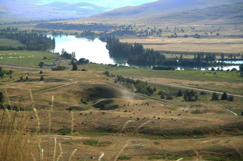
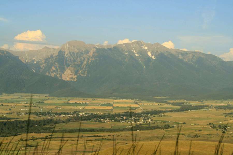
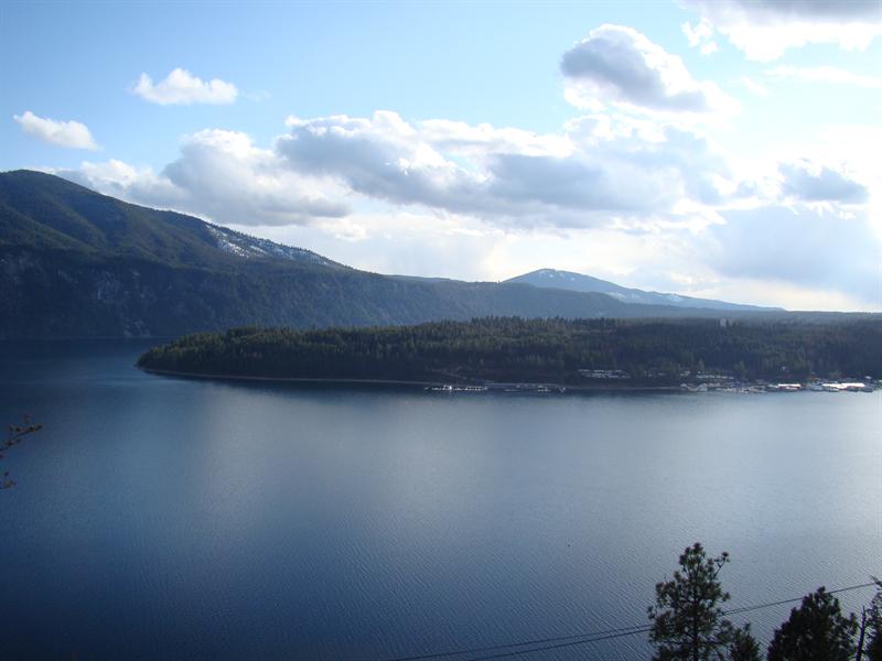 Since we wouldn’t make it through to the North Cascades, we decided to see how far we could get westward and find a place to camp. We followed the Clark Fork River on Hwy 200 crossing into Idaho and driving along the north shore of Lake Pend Oreille then connecting with Hwy 2 at Sandpoint on the lake. It is evident this is a recreation and resort area with little motels and boat parking dotting the highway. We enjoyed the scenic views along the drive but no place jumped out to stop for photography; especially since the sweeping vistas out across the lake were hazy. I found a photo online that reminded me of the views we were seeing. Lake Pend Oreille is glacially carved and is Idaho’s largest and deepest lake. Researching it, I found the lake is the probable location of the ice dam causing the formation of Glacial Lake Missoula we mentioned in the National Bison Range post.
“During the most recent episode of major ice-sheet expansion, between about 18,000 and 13,000 years ago, a lobe of the Cordilleran ice sheet advanced into the Idaho Panhandle to the area that is now occupied by Lake Pend Oreille, thus blocking the Clark Fork River drainage and causing Glacial Lake Missoula to form.” About the Ice Age Floods.
The image of the Ice Age Floods map on the above web page reflects the theoretical extent of the most recent ice sheet coverage of North America. Zooming in on the map image, I was able to see the towns of Libby and Sandpoint labeled near the top right side which gave me a reference to where we had driven over what might have been the glacial ice dam.
Entering Washington
 We entered Washing ton state as we crossed the Pend Oreille River into the town of Newport and checked out the Colville National Forest’s Newport Ranger Station for suggestions of hikes and campgrounds. The brochure about Day Hikes in Eastern Washington had an insert describing Waterfall Strolls. That definitely needed some investigation! The ranger didn’t have news about the fires; he just knew that both Hwy 2 and 20 were closed at the moment. We branched onto Hwy 20 to stay north and continue west since Hwy 2 turned south out of Newport.
Mailea has been all through the Washington/Idaho area collecting tree insects for research and one of the places she mentioned as a stop was Colville!  We found a huge Safeway to restock our supplies and friendly people. Neil asked for a lunch recommendation, and when he mentioned possibly Mexican food, the cashier raved about a little place a few blocks away. We tried two different Mexican restaurants while traveling in Eastern Washington and we can tell you that what passes there for Mexican food is nothing like we are used to in California or Hawaii! At one restaurant, Neil tried to politely ask the Hispanic owner if this was the same food the staff ate in the back (his bland Chili Verde was the toughest meat we had ever tasted. Neil said it was like chewing straw and he literally gagged a few times while trying to swallow it.) The owner just got huffy and grabbed Neil’s plate off the table. He said had never had a complaint about the dish in the 12 years he had been in business. I’m glad the locals keeping him in business have tough jaws. We didn’t have Mexican food again until we got to California.
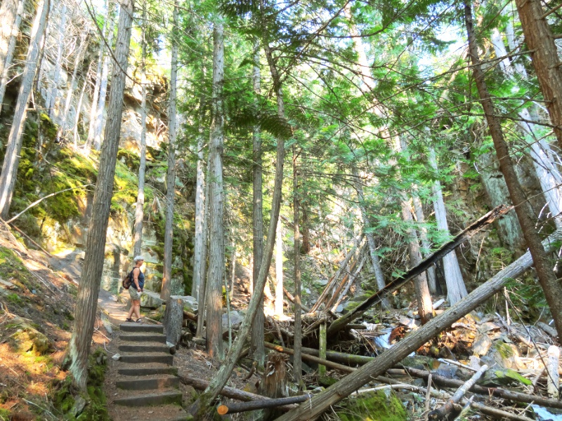
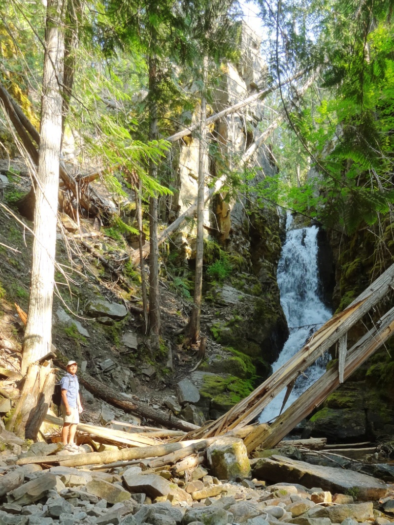
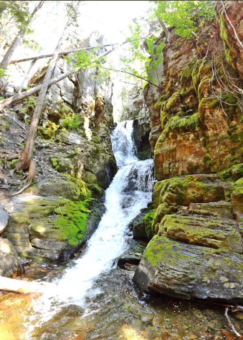
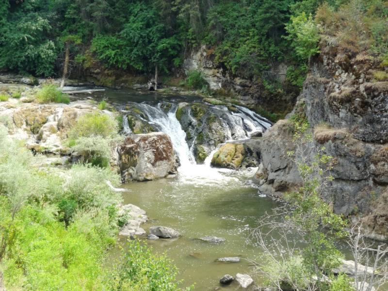
Waterfalls
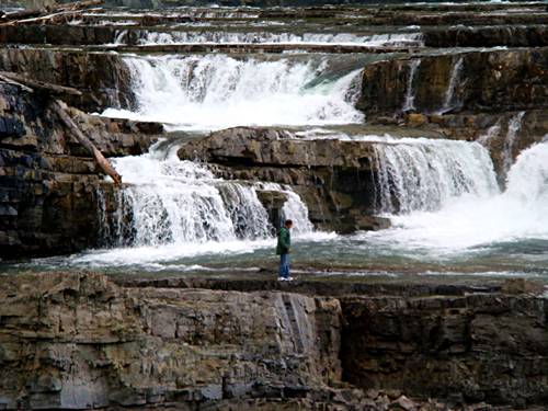
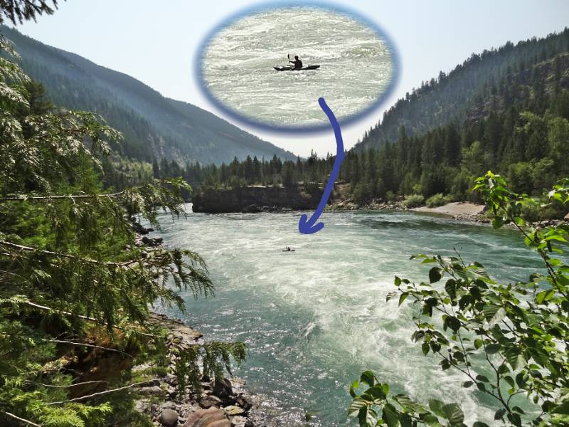
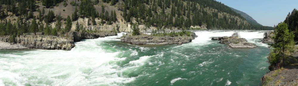
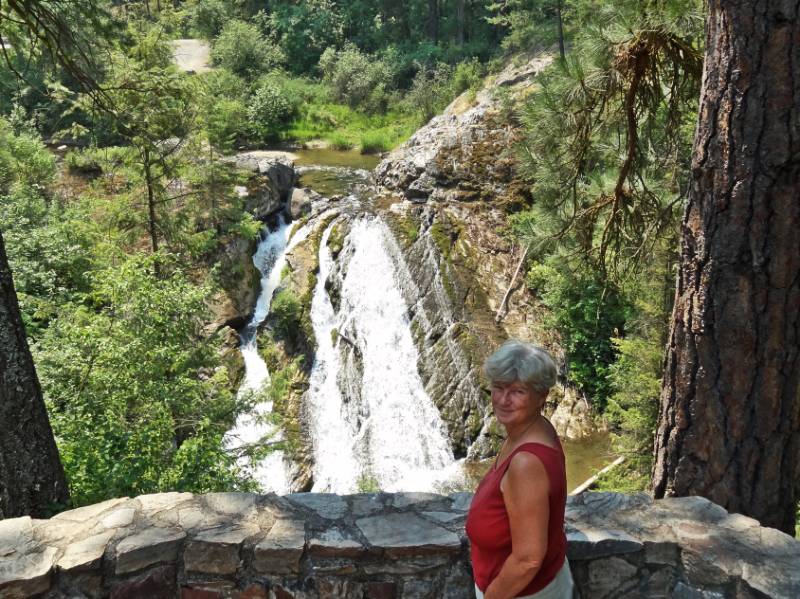
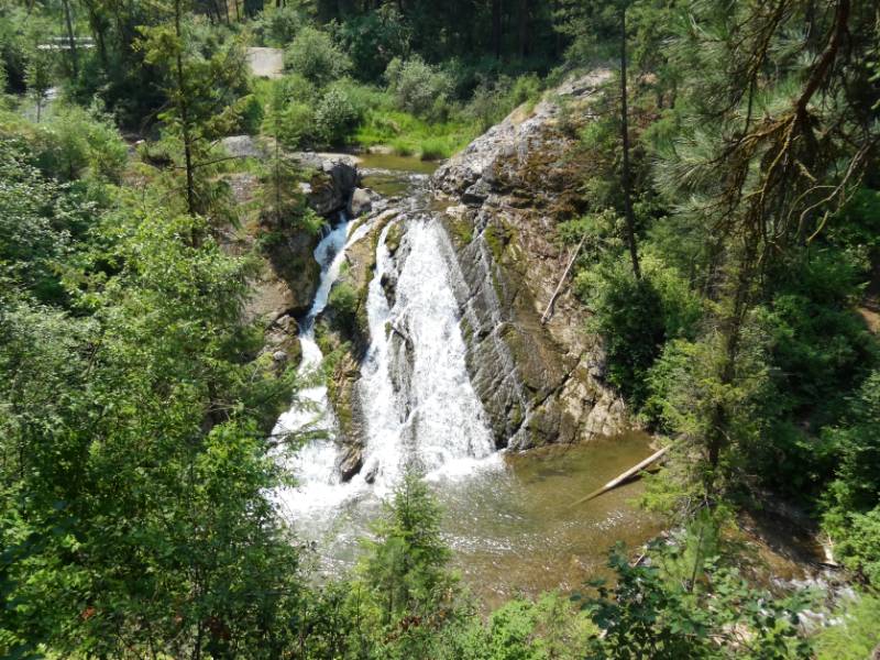
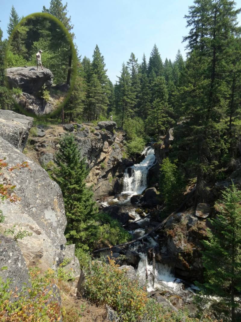 The Waterfall Strolls were all in the Colville vicinity. Crystal Falls is right on Hwy 20 but there was no signage to identify it. We would have missed it if we didn’t know where to look for the gravel parking area. Crystal Falls gets its name from how it looks in the wintertime. The Pend Oreille River drops straight down a rocky face and there are good viewpoints right near the road. Of course Neil had to climb out to the top of the rock directly overlooking the falls and I was able to snap a photo.
 We drove a little north out of Colville to find Douglas Falls. What we found was the falls were within a state park including a campground. The falls overlook is in the day use area allowing an elevated view of falls.
The information sign gave the history: ”Douglas Falls Grange Park: The 120 acre park site was purchased in 1938 by Stevens County Pomona Grange #17 and maintained thereafter by its members for the public’s pleasure. Changing times made the upkeep of the park a problem for the organizations. So in 1975 a deed to the property was presented to the State of Washington Department of Natural Resources for development and maintenance as a public park. The 60 foot waterfall on Mill Creek was named for R.H. Douglas who harnessed it in 1855 for a grist mill. Later converted to a sawmill. Failing to negotiate a lumber contract with the U.S. Army at nearby Fort Colville, he turned his talents to the production of distilled spirits.”
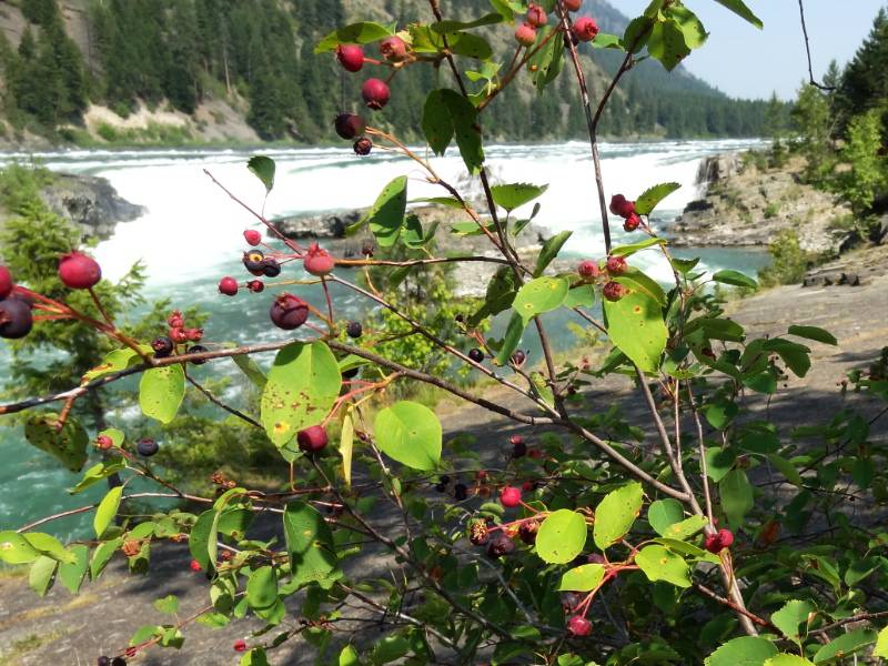
 The last waterfall we searched out was Meyers Falls which took us through neighborhoods in Kettle Falls. It was a disappointment when we finally found it because the access to the main falls viewing is blocked by the current powerhouse owner. There are informational signs and the history is well documented however we were only able to view a small falls upstream from Meyers Falls.
“On the Colville River immediately south of the City of Kettle Falls (which in turn was named after a now submerged and extinct falls), Meyers Falls is a series of cascades about 133 feet in total height. In the spring the cascades join to become a single, wide, 133 foot waterfall. Over the years a grist mill, a sawmill, a brick factory and a hydroelectric project have been built above and below the falls.
In 1826 a gristmill was built by the Hudson’s Bay Company on the river above the falls and continued in use until after the first generating station was built. In the intervening years a sawmill capable of producing 20,000 board feet of lumber per day was also built at this site. Interestingly, this early use of the Colville River makes it the oldest source of water power in continual use west of the Mississippi River.“ Waymarking Meyers Falls
Five Lakes Area
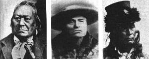
Chief Moses, Chief Tonasket, Chief Sar-sarp-kin
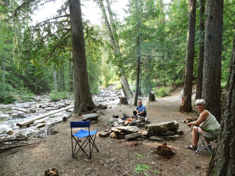
We decided to stay at Bonaparte Lake Campground (elevation 3500 feet) near Tonasket, actually in the Okanogan National Forest. Okanogan is a Salish Indian word meaning “rendezvous.” Originally this region was home to 12 tribes who moved through it according to season. In 1846 the US government ignored the rights of the indigenous people, seized the land from them, established reservations, decades later took the north half of the reservation back from the Indians, opened it to settlers and prospectors eager to exploit it, and eventually put the bulk of the land under management of the Forest Service. The area is rich with old ghost towns, many in good condition. Sadly, we didn’t have time to explore them.
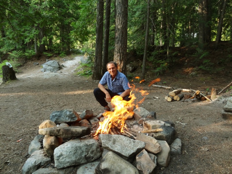
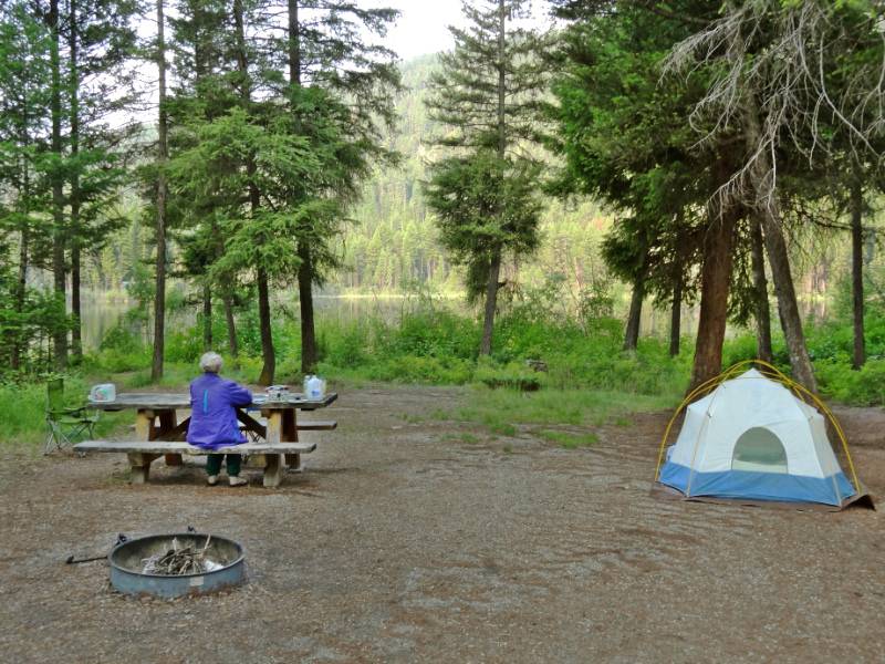
 We found a nice camping spot right on the lake shore in the magnificent Okanogan Highlands. There was even firewood provided, however, the hostess stopped by to say the ranger had just come around saying no campfires till further notice, sigh; we would miss an evening campfire. With unplanned daylight left, we set off to explore a couple of the lakes close by. The drive took us up and down around the forested hills and even along a rather steep ravine. Each of the lakes had a National Forest campground with plenty of open camp spaces. Beaver Lake and Beth Lake were small lakes with boat launch access. Each lake had a different look in the afternoon light. Lost Lake was the highest lake we explored.
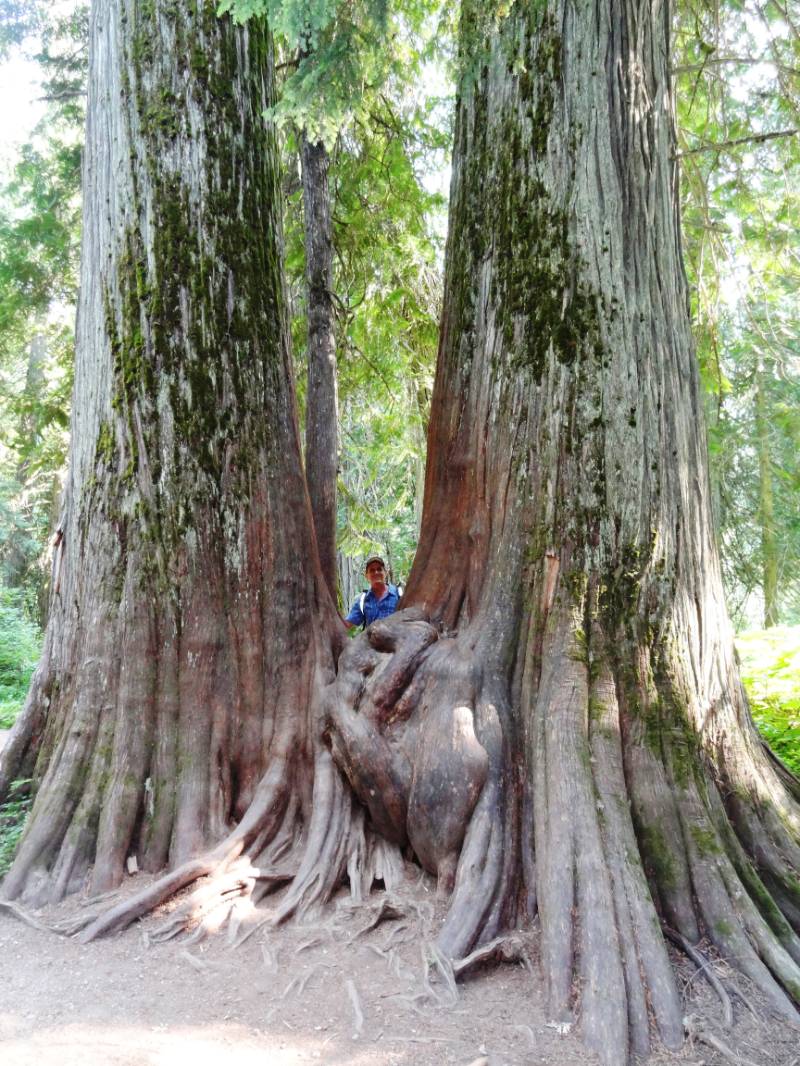
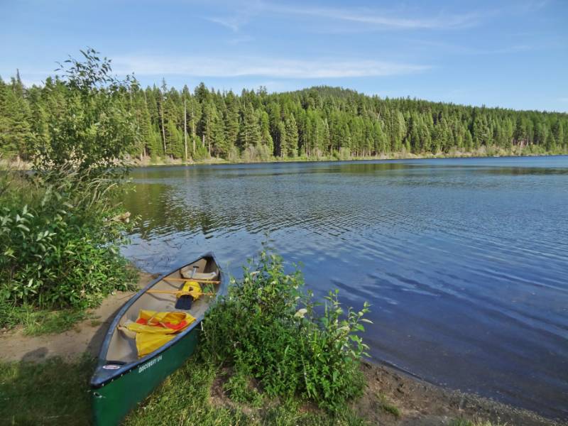
 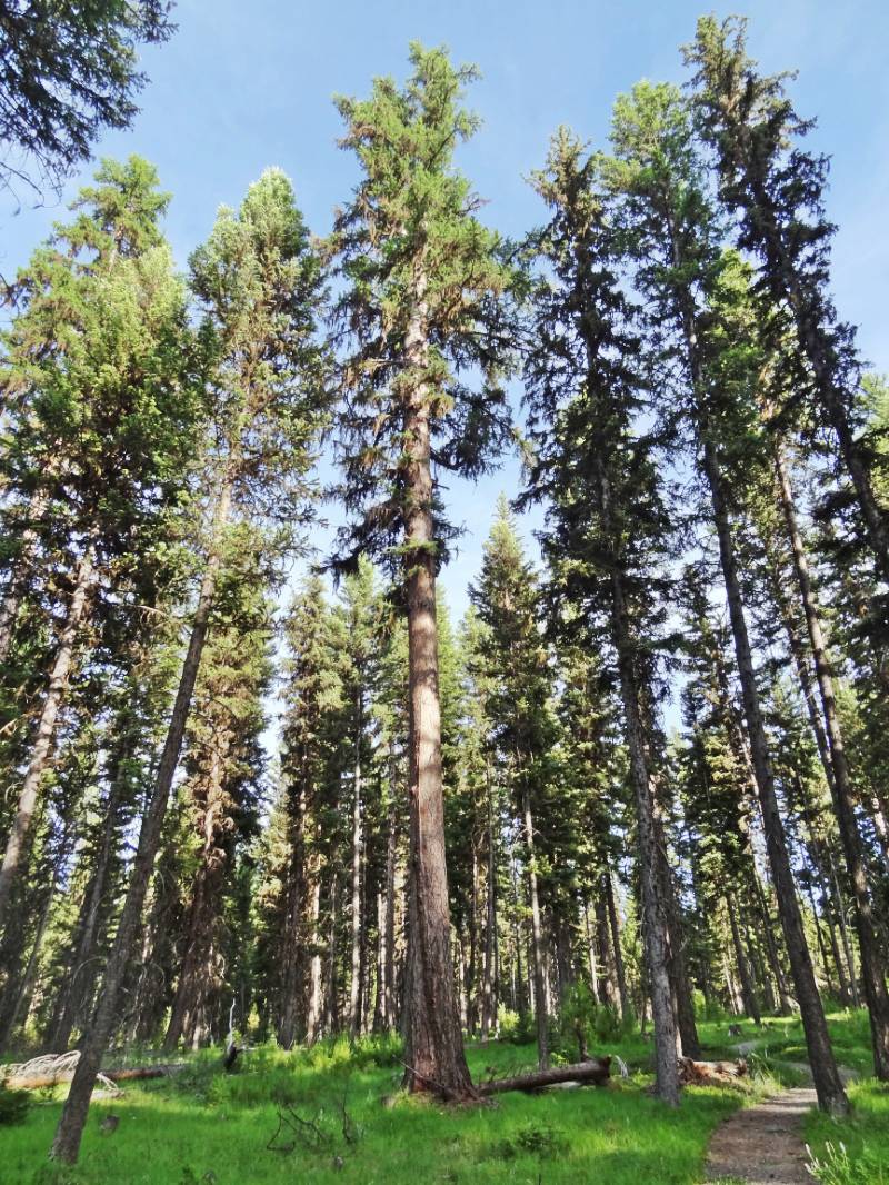 We enjoyed watching a large young adult group equipped with canoes having great fun camping right on the lake. An alluring sign caught our attention as we neared Lost Lake that needed more investigation: “Big Tree Trail Head”. We parked at the trailhead as we retraced our tracks from Lost Lake. The mile nature trail loop we walked ended at two giant ancient trees.
Sign on the trail: “The two old western larch below, also called tamarack, are over 900 years old. They were not harvested with the rest of the trees in 1963. In 100 the trees in this area were thinned to remove those with insects and disease damage. The remaining trees now have more crown space. Some they may reach the size of the two big larch below.”
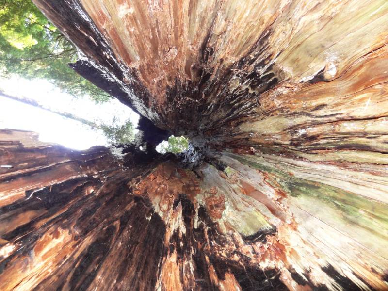
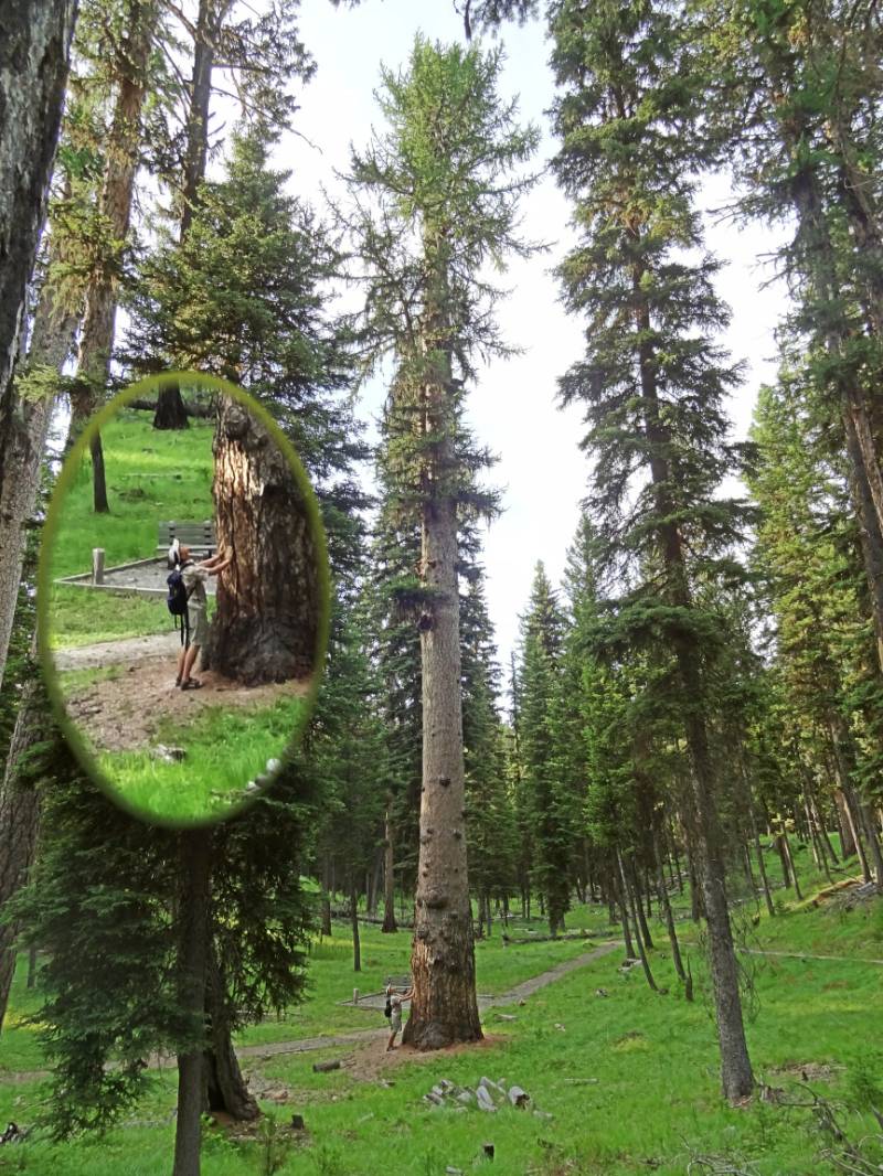 I am finding it hard to put in words the feeling of being in the presence of these majestic trees. It is one of both wisdom and love. Neil communed with them for some time. He experienced an altered perspective on the forest – one where years sped by like days. For these ancient ‘standing people’ the lifespan of a human is a mere flicker compared to the scope of their cares and concerns. It was very humbling.
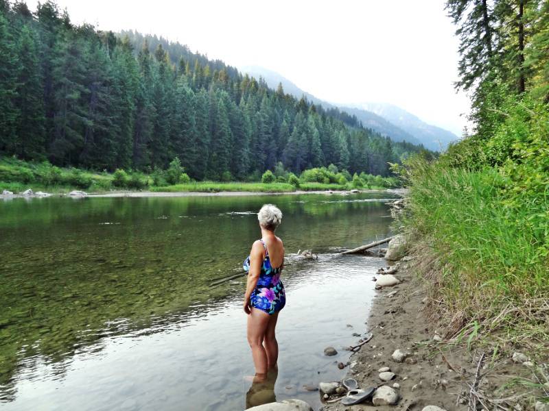
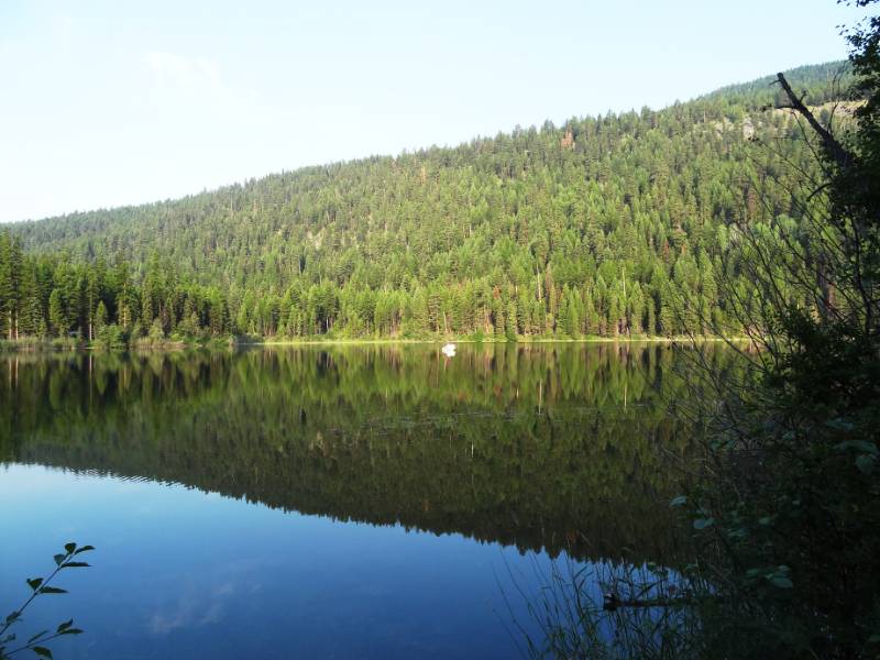 We woke to the sounds of nature Friday morning. The air was full of bird songs and chattering squirrels as the sunlight just reached the water itself and the hill full of pine trees reflected in the water! We sat at the water’s edge to watch and listen to the serenade before breakfast and breaking camp.
Photo Credit: Neil Rhoads and www.tourfactory.com for Lake Pend Oreille and ghosttownsusa for Okanagan Chiefs
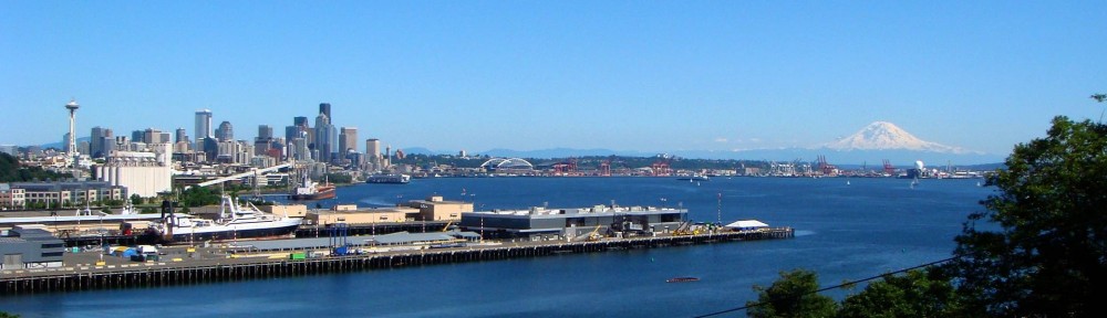
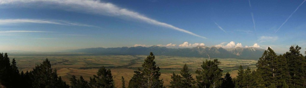
Photo Slider: Neil has worked hard editing the pictures for you to enjoy in the posts. He has also had fun making header photos for the top rotating slider. This post has a unique slider with pictures from this adventure only. I hope you click into the webpage so you can see the slider in action.
Photo gallery below:
Clicking on any photo thumbnail brings up the full size photo with a description. To easily see them all, use the arrow buttons or keys to move through the full size gallery photos with descriptions. If you are receiving this in an email and don’t see a photo gallery below, please click into my webpage to view all the photos!