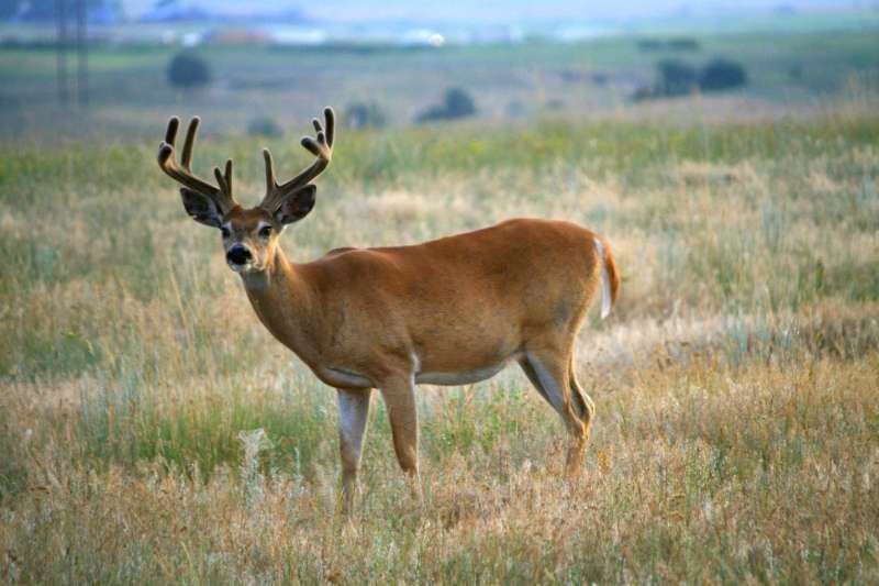
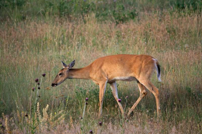
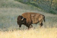
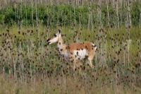
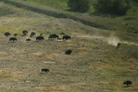
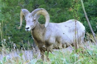
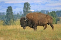
 When Ari suggested a drive to the National Bison Range, I didn’t know what to expect. I had no idea there was such a treasure so close to Missoula. We were able to not only view a large herd of bison in their natural habitat but a wide variety of wildlife such as mule and white-tailed deer, pronghorn antelope and bighorn sheep as we took a late afternoon drive through the reserve.
“ Tucked away in the southern portion of the Flathead Valley in Northwest Montana, the National Bison Range is a wonderful place to see beautiful scenery, large herds of grazing buffalo, elk, antelope and other prairie wildlife.
The National Bison Range was established in 1908 and is one of the oldest wildlife refuges in the United States. It was created to serve as a refuge for the Bison, also known as a Buffalo. The refuge is relatively large, standing at 18,500 acres.
 The Bison Range consists of a wide variety of habitats. The primary habitat in the range consists of rolling prairie. Large hills and small mountains form the heart of the range, with prairie being the dominant feature, even on the taller hills. But, in some areas of the refuge, pine forests are tucked away on more moist slopes. Additionally, along the lower boundaries of the range, several streams create areas of small wetlands.” Quoting from BigSkyFishing.com
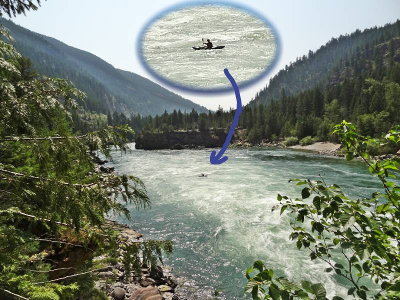
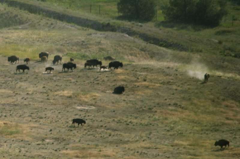
 Beyond the visitor’s center at the entrance there are two one-way gravel loop roads and a short two-lane road for wildlife viewing throughout the reserve. The longer 19-mile loop, called Red Sleep Mountain Drive, traverses the reserve’s variety of habitats climbing 2000 feet before descending back along Mission Creek. It took us a couple of hours to complete the drive allowing for photo stops and walking the two short trails that are the only designated walking trails accessible from the roads. From the car we had impressive vistas of the bison herd and we also safely viewed some up-close individuals. It was wonderful to see them living freely in a large protected reserve.
Conservation
 The National Bison Range official history outlines that the Range was established in 1908 when President Theodore Roosevelt signed legislation authorizing funds to purchase suitable land for the conservation of bison and that it was the first time Congress appropriated tax dollars to buy land specifically to conserve wildlife. The history page avoids mentioning that bison conservation was required because of previous Federal government actions.“Bison were nearly extinct by 1890, having been part of a Federal government sponsored program of eradication during the Indian Wars, thereby removing a vital food source from the Plains Indians diet, and ensuring easier relocation onto Indian reservations.” Source: Wikipedia.org
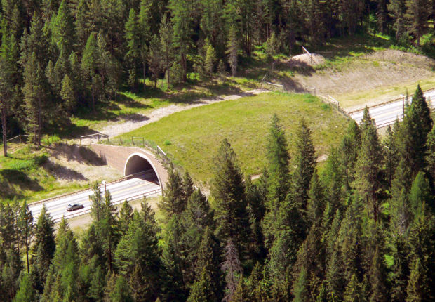
Animal Bridges
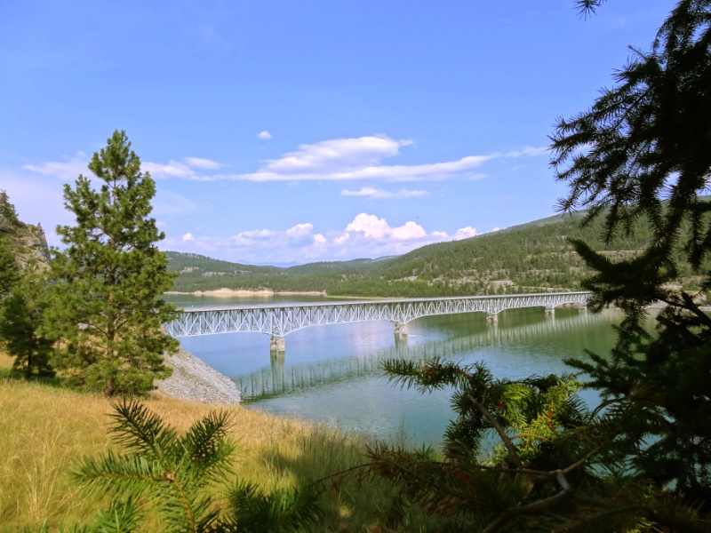
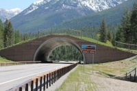 Happily, wildlife conservation efforts continue in modern day Montana and were evident when Neil and I drove Highway 93 to Columbia Falls. We went underneath an animal bridge built across the highway allowing animals to cross the highway safely! We also noticed several tunnels built under the roadway to provide additional safe crossing points. Paying more attention, we saw unusually high fencing along the sides of the highway to deter the animals from trying to cross at the highway level, instead directing them into the safe tunnels and the bridge. Not only that, but we saw ‘jump outs’ designed to give a safe exit point for any animals that somehow made it onto the roadway. We were impressed and looked for the animal bridge each time we drove through the Flathead Indian Reservation on Highway 93, (the highway is also known as The People’s Way.
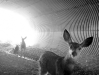 ) Researching it further, we found there are 41 animal crossings in a 56 mile stretch of roadway between Evaro and Polson; 40 of them being underground tunnel crossings! It is an impressive project begun in the 1990’s and completed 6 years ago. Motion detection cameras were installed in the overpass and tunnel crossings to record the animals’ activities. One camera caught images of a doe who laid down in the middle of the tunnel while she let her two fauns play from end to end. Similar behavior has been observed in Banff and elsewhere and there has been some speculation that the adults are teaching the younger generation where the safe crossings are. Researchers noted that when the herd matriarch was unwittingly culled along with other adults from a herd in Canada the remaining herd seemed to forget where the crossings were and usage declined dramatically.
An extensive research project is nearing completion about the wildlife crossings that is studying the use patterns and the statistical analysis of the reductions in auto collisions. The numbers indicate that the net savings in lives and property are much greater than the extra engineering costs.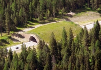 It’s a win-win for people and animals. Just as the Montana Evaro Hill animal bridge designers went to Banff National Park to study their animal bridge, now international researchers are coming to Montana to study the wildlife crossings on The People’s Way. Soon there will be many more safe crossings all around the world.
Geology
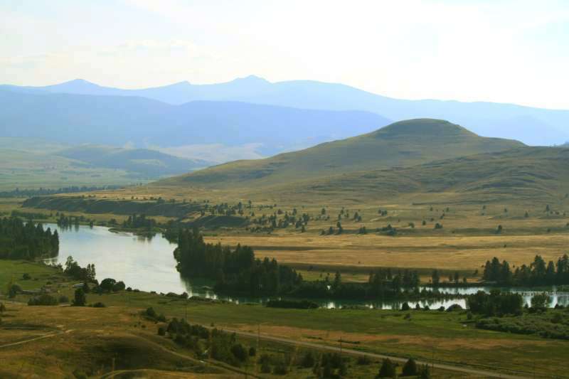
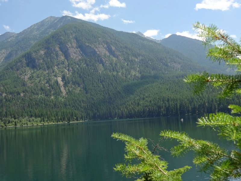
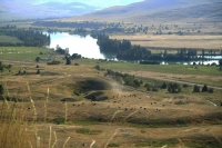
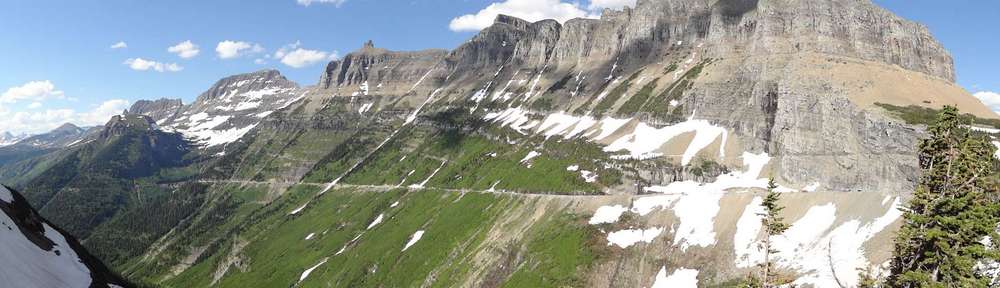
 We began our ascent on the northwest side of Red Sleep Mountain. The drive offered views of the large herds of bison grazing the grassy hills with the Flathead River at the bottom of the valley and the Flathead Indian Reservation beyond. Constantly on the lookout for wildlife, we wound up and around small watering holes and meadows skirting the forested summit before we reached the highest elevation of the road. After a short walk and a rest stop, we began our descent down the east side of the mountain.
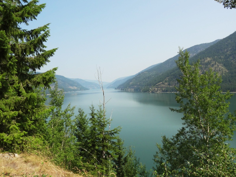
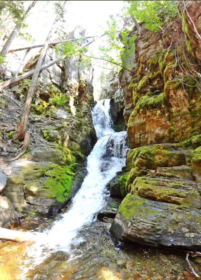
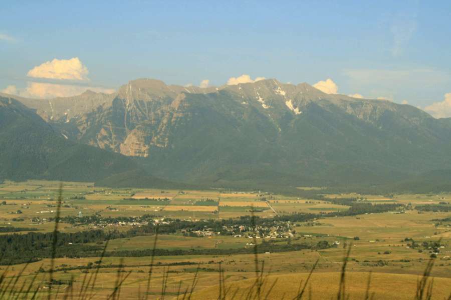
 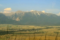 Spread out before us was the Mission Valley, backed majestically by the Mission Mountains. Further east (out of view) on the other side of the Mission Mountains is Swan Valley and Holland Lake. (If you read my Holland Lake post you may remember seeing the Mission Mountains on the western horizon as seen from the lake.) It was an impressive sight as the sun was sinking in the western sky to view the expansive valley and town of St. Ignatius below us. At one of our stops, an information sign explained that at one time much of what we were seeing had once been underwater and the old beach lines are still evident on north-facing slopes.
 If we had been gazing out from our vantage point on Red Sleep Mountain about 12,000 years ago, we would have been standing on a little island in a huge 2,000 foot deep lake. The Ice Age Floods Institute tells about the catastrophic floods that roared across Idaho, Oregon, and Washington when the ice dam broke. Here’s a bit more about the lake:
The Short Story
About 12,000 years ago, the valleys of western Montana lay beneath a lake nearly 2,000 feet deep. Glacial Lake Missoula formed as the Cordilleran Ice Sheet dammed the Clark Fork River just as it entered Idaho. The rising water behind the glacial dam weakened it until water burst through in a catastrophic flood that raced across Idaho, Oregon, and Washington toward the Pacific Ocean. Thundering waves and chunks of ice tore away soils and mountainsides, deposited giant ripple marks, created the scablands of eastern Washington and carved the Columbia River Gorge. Over the course of centuries, Glacial Lake Missoula filled and emptied in repeated cycles, leaving its story embedded in the land.
Flood Facts:
- The ice dam was over 2000 feet tall.
- Glacial Lake Missoula was as big as Lakes Erie and Ontario combined.
- The flood waters ran with the force equal to 60 Amazon Rivers.
- Car-sized boulders embedded in ice floated some 500 miles; they can still be seen today!
Source: Glacial Lake Missoula
The Prairie and the Road Home
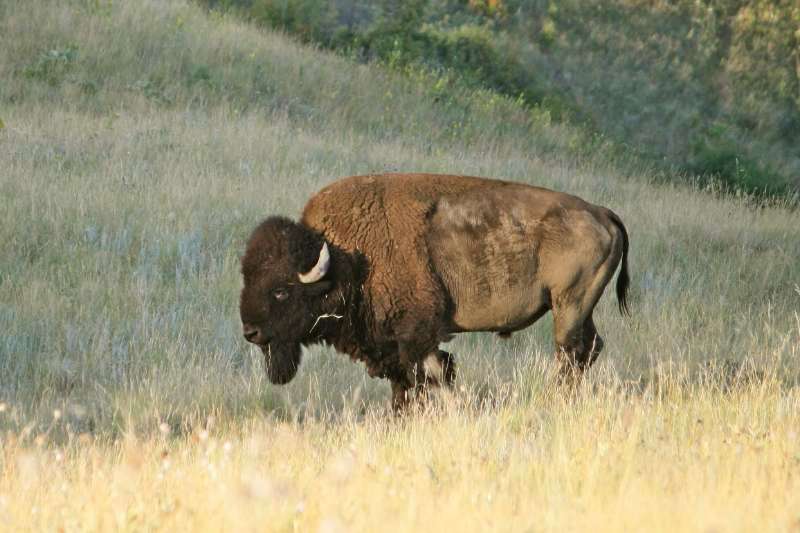
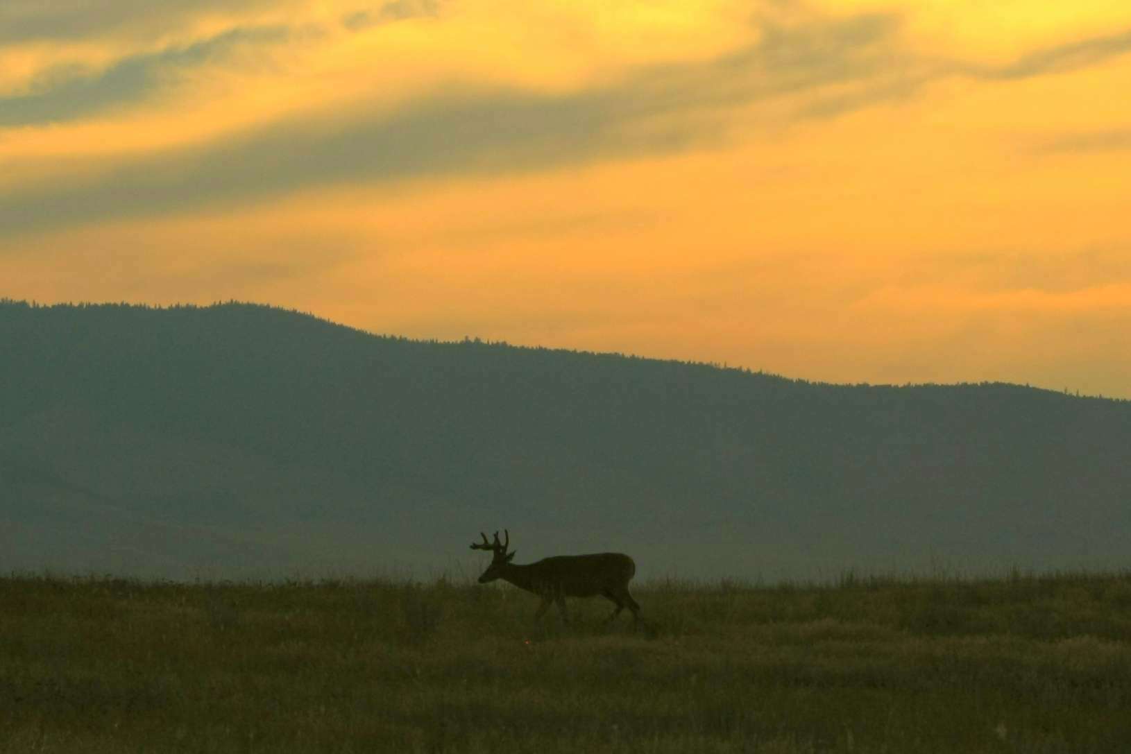
 We saw the majority of wildlife as we descended back down to the prairie grasslands near Mission Creek. In the rocky areas we saw bighorn sheep resting and eating. The deer and the antelope were out feeding (okay, okay, they were roaming) in the cool sunset temperatures and solo bison were resting very near the road.
  There were only a few other cars driving through the reserve along with us so it was very easy to stop on the one lane road to view and take photographs. Being that close to the bison, really gave me a feel the size and power of the animals. I can’t imagine being near a thundering herd!
 As we exited the reserve, it was now time to feed ourselves. We couldn’t stomach stopping at the café right outside the reserve that had a big sign advertising bison meat! Yes, we did read that the reserve bison herd is maintained at about 350 to prevent overgrazing. Therefore, each year 50-95 surplus bison are rounded up. The bison are first transferred to other conservation areas, including Native American and public herds, and the rest sold to private individuals — meaning some can become bison burgers. It is part of nature but I didn’t want to eat bison after just seeing the magnificent beasts.
 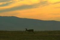 We instead drove to St. Ignatius and enjoyed a meal at an authentic Montana bar/café, the 44 Bar & Outwest Grill, right off of Highway 93. We drove back to Missoula on The People’s Way (Hwy 93) over and under the animal bridges. Who knows what other animals than us were moving through the night!
Note from Neil: You may have noticed that this post and the previous one on Holland Lake include some history and background info. What do you think of these posts? Do you like the extra info or would you prefer shorter posts? Please give Nan your feedback. Thanks!
Photo credits: Eric Shultz and Neil Rhoads, except the Animal Bridge photos from the cited sites.


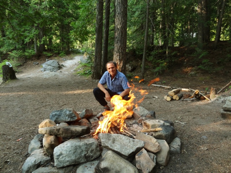
 Patrick Hayden Schultz was born January 9, 2016, at 4:58 am to Ariann (Neil’s youngest daughter) and Eric Schutz in Missoula, Montana. He was 8 lbs 0.9 ounces with a 14 inch head and 21 inches long. We enjoyed getting to watch him grow through lots of photos and finally got to meet the precious little guy in May and June of 2016 as he turned 5 months old. Neil flew in to Missoula the end of May and spent two weeks with Patrick, Ariann, and Eric in their new home.
 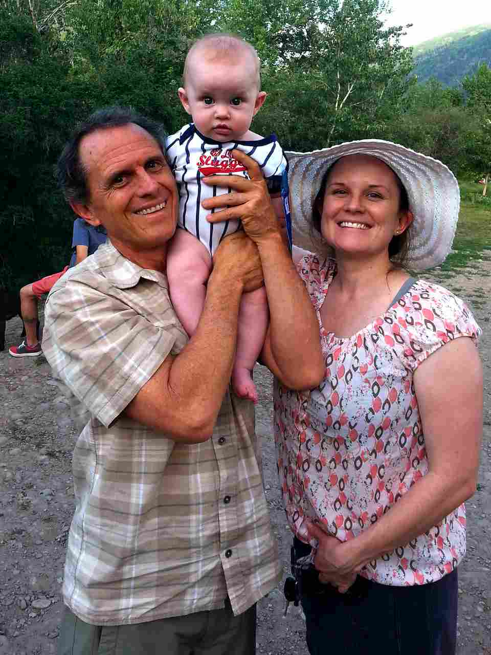 They had just moved into their new house and Neil was able to help with a few handyman projects in addition to spending quality time getting to know Patrick and being Granddad Neil. I flew in for the last 4 days of his stay to get to be Grandma Nan and love the special little man.
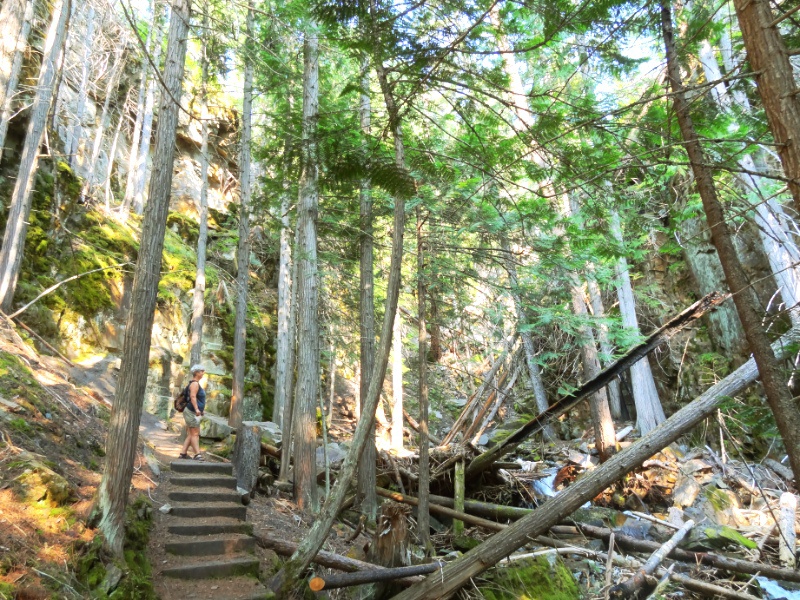
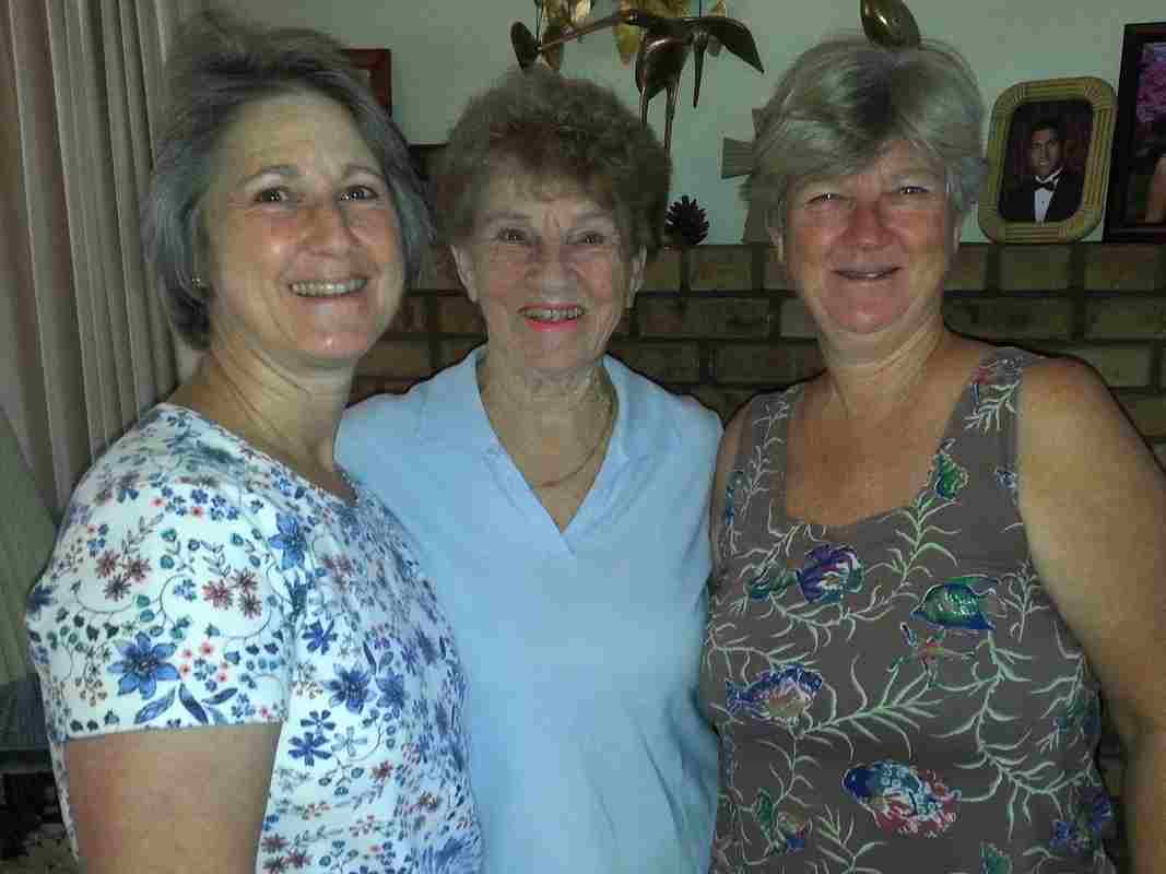 I started my trip in May landing in LA for 5 days visiting Pamela and Chris and then going up to Ridgecrest with Pamela to visit Mom and Bill. It was a relaxing low-key time. I flew to Missoula late Friday night and the following morning we spent at the downtown farmers market. The weather was beautiful and Patrick was happy in his stroller. We met up with our friends Sunni and Merrill for tea and walking about the downtown looking at some of Merrill’s incredible handmade wood projects installed in several business.
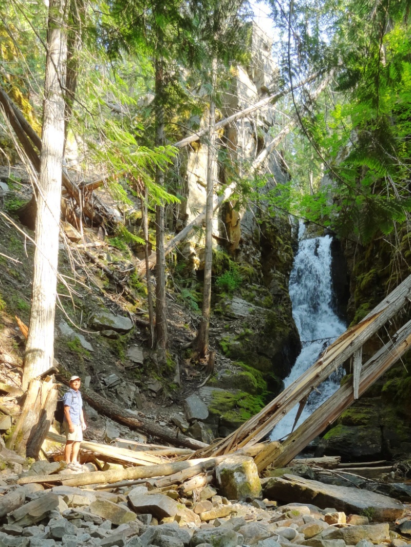
 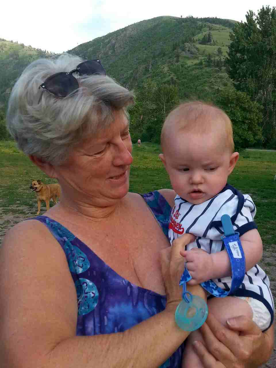 Our days were spent working on yard projects and playing with Patrick. Evenings were spent with Eric using his smoker making wonderful meals and I enjoyed their deck hot tub! It ended much too soon and I headed off to Ohio.
 My time there happened to overlap with Mom in Ohio visiting her family. We had some fun afternoon gatherings and I even showed Aunt Janet how I make my organic scones. Melanie drove up from Maryland in time for our Kreischer family gathering Sunday afternoon. It was great to see all my Uncles and Aunts, cousins and many of their children and grandchildren.
 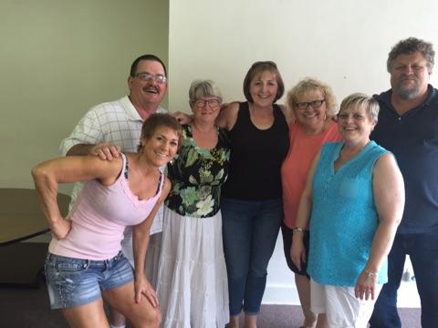 Thanks Cindy and Clare for hosting us at your Special Occasions event center.