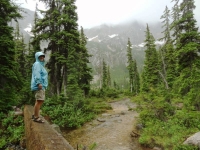
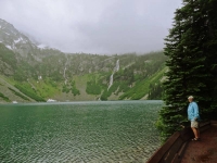
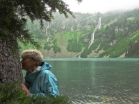
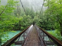
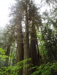
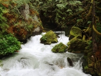
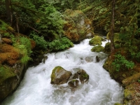
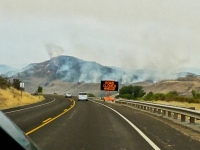
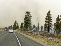
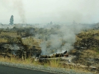
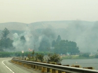
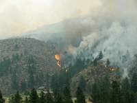
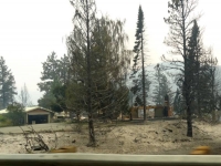
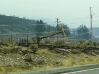
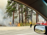
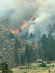
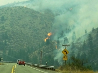
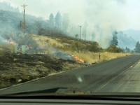
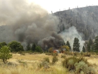
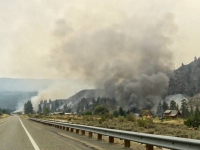
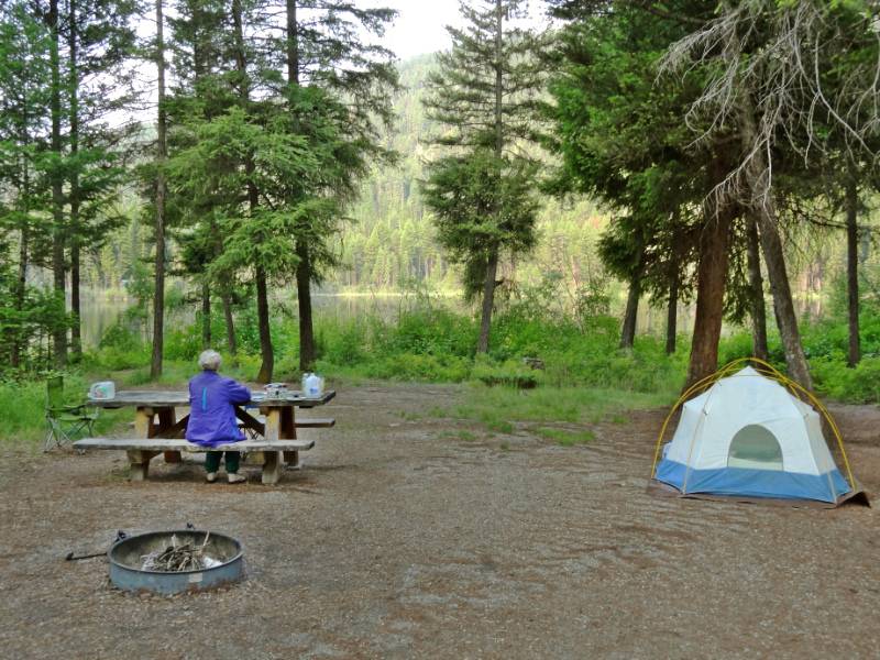
 We had a wonderful few day visit with Helene and Timothy in their beautiful home in Seattle’s Magnolia neighborhood. Our only regret was not having time with their daughters, Shane and Talia, because the girls left very early Sunday morning for a multi-day rock climbing excursion. We were able to give them a hug on Saturday night when we arrived in our exhausted state from our day at North Cascades hiking, hotel searching, and driving. I’m sorry I wasn’t coherent enough to sit up visiting a little while. (Helene later told me the girls had a great trip and weren’t impacted by the Leavenworth wildfire that was still burning nearby.)
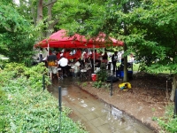
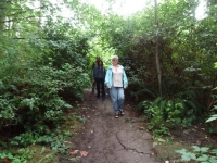 We woke up to a beautiful Sunday morning–well cloudy and drizzly but that is a beautiful day in Seattle isn’t it? After hanging out our wet tent and sleeping bags to dry in their spacious downstairs workroom/game room, we walked with Helene and Timothy from their house down through the lower edge of the Kiwanis Ravine on a foot path and across the Ballard Locks for brunch at the Portage Bay Café. During our wait for a table, we browsed the Ballard Sunday Farmers Market.
  It’s a weekly street fair and market stretching several blocks with local vendors and music. We sampled local artisan cheese and salami, as well as organically grown fruit and vegetables. We took home fresh blueberries and cheese for later. Yum! On the way back, there was a free Jazz concert starting on the open lawn area in the Ballard Lock Gardens.
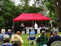 People were seated around in lawn chairs and the rangers offered folding chairs for those of us who hadn’t brought our own. Neil and I sat a while to enjoy the upbeat music until a water main broke in the ground below the musicians and they had to scramble to save their equipment as water covered their feet and started flowing in a river down the sidewalk. Eventually the stage was moved slightly uphill and they restarted the concert but by that time we had already started strolling through the surrounding botanical gardens.
Great Blue Herons
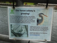
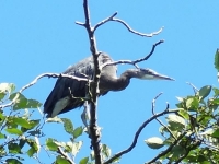 Helene and Timothy’s home backs onto the Kiwanis Ravine blue heron wildlife sanctuary and we were able to watch parent herons bringing food to the young ones in a few nests visible from their expansive dining room windows.
“This park was named the city’s first Wildlife Sanctuary in 2010. It is home to Seattle‘s largest nesting colony of Great Blue Herons. The herons make their nests there from February through July or August each year; volunteers counted approximately 90 nests in 2011.” Kiwanis Memorial Preserve Park
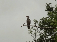
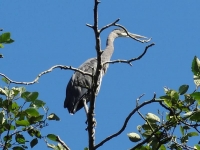 During nesting season, houses adjacent to the ravine can’t do any outside construction nor any work that might disturb the nesting herons. Timothy told us these past few years the eagles have been voraciously raiding the nests for the new hatchlings and it was estimated that very few young survived the nesting season. Fewer numbers of Great Blue Herons returned to nest this year in the ravine; it seems they are moving their nesting area. We saw many herons and nests in the trees of Commodore Park, the canal-side promenade downhill from Kiwanis Ravine. Neil was able to get some good photos of them.
Hiram M Chittenden Locks
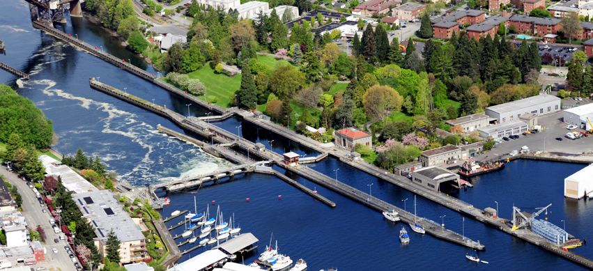
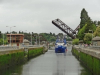 Monday, July 21, we woke to sunshine. While Helene and Timothy went to work, we did laundry, repacked the car, and did some route planning. For lunch, we retraced the same walking route to Ballard so we could feast at the Indian restaurant our friends pointed out the day before; Indian food is one our favorite cuisines. Walking back, we noticed the Ballard Locks visitor center was open and decided to look through the museum. The official name of the Ballard Locks is actually Hiram M. Chittenden Locks. They were built by the U.S. Army Corps of Engineers beginning in 1906 and are still operated by the Corps. Various Seattle locations were proposed and considered over the years for building the canal and locks (one proposal was to dig out a hill in middle of downtown Seattle.) U.S. Army Major Hiram M. Chittenden determined the current site of the locks was the best engineering choice and is credited with its innovative design. While we were browsing through the interesting exhibits, the load speaker announced a free tour of Gardens and Locks downstairs and we thought why not?
“Construction of the Lake Washington Ship Canal and Hiram M. Chittenden Locks was completed in 1917 by the U.S. Army Corps of Engineers. Connecting the waters of Lake Washington, Lake Union, and
Salmon Bay to the tidal waters of Puget Sound, the canal and locks allow recreational and commercial vessels to travel to the docks and warehouses of Seattle’s busy fresh water harbor.
The complex of locks sit in the middle of Salmon Bay and are part of Seattle’s Lake Washington Ship Canal. They are known locally as the Ballard Locks after the neighborhood to their north. (Magnolia lies to the south.)
The locks and associated facilities serve three purposes:
- To maintain the water level of the fresh water Lake Washington and Lake Union at 20 to 22 feet above sea level.
- To prevent the mixing of sea water from Puget Sound with the fresh water of the lakes (saltwater intrusion).
- To move boats from the water level of the lakes to the water level of Puget Sound, and vice versa.
A fish ladder is integrated into the locks for migration of anadromous fish, notably salmon. The grounds feature a visitor center, as well as the Carl S. English, Jr. Botanical Gardens.” Hiram M. Chittenden Locks, US Army Corps of Engineers
Chittenden’s ingenious design of the locks is what helped fulfill the above listed three purposes without complex engineering equipment. He also advocated the addition of the second smaller lock adjacent to the originally planned large capacity lock because he recognized the locks would be used for smaller pleasure craft along with higher tonnage commercial vessels. Using the small lock when boat traffic is low conserves fresh lake water during summer, when the lakes receive less inflow. The two lock design also allows one of the locks to be drained for maintenance without blocking all boat traffic. Our park ranger guide explained how the locks worked and how the design prevented the salt water from entering the fresh water lakes. Rather than quoting it all here, I recommend you read the Hiram M. Chittenden Locks Atlas Obscura link for a historical description about the need for as well the creation of the Locks.
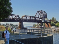
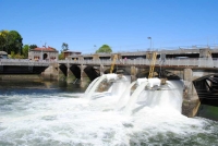 Beside the two locks stretches the spillway dam which maintains the freshwater levels within a range of 2 feet for Lake Washington, Lake Union, and the Shipping Canal. The pedestrian walkway we crossed on our way to Ballard goes over the top of the dam and the lock gates themselves creating a walking corridor between Ballard and Magnolia and connecting the parks on either side of the canal. The Lake Washington Shipping Canal was built at the same time as the Ballard Locks.
 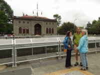 Commercial transportation is what drove the need for locks. In the 19th century, goods and raw materials transported from inland Washington arrived at Lake Washington on the way to Puget Sound. They need to be moved across the lake and then unloaded and moved across a section of land before reaching the docks on the Sound. I mentioned there were several locations considered to build a lock and canal. The current location of the locks requires shipping traffic to transition Lake Union before reaching the Lake Washington. The problem in the early 1900s was that Lake Washington was almost 9 feet higher than Lake Union. The opponents to the Salmon Bay location argued you would need a second set of locks between the lakes! Chittenden solved this by simply lowering Lake Washington 8.8 feet to the same level of Lake Union and building a level canal between the two lakes. It was an elegant engineering and commercial solution but had a drastic impact on the watershed:
“In 1916, Lake Washington is lowered 8.8 feet and the Black River disappears due to construction of the Lake Washington Ship Canal. … The lowering of Lake Washington and raising of Salmon Bay causes a number of changes to the watershed, the most dramatic of which is the drying up of the Black River when the level of Lake Washington drops below the river channel entrance [the natural outlet for Lake Washington]. As a result, the way water moves through the watershed changes drastically, with environmental and human consequences” HistoryLink.org
You can read the full article about the reshaping of the watershed and its impact at Washington State History HistoryLink.org. The article concludes “Like many large civil engineering projects in Seattle, the Lake Washington Ship Canal wrought enormous change to the landscape and to the lives of people who lived on the waterways affected by the project. It brought many benefits to the city, but exacted a large environmental and social price.”
Fish Ladder
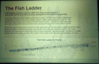
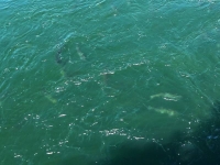 The tour then moved onto the Fish Ladder. Major Chittenden proposed the building of a fish ladder as a part of the locks design (he was environmentally aware that the salmon’s natural migration route up the Black River to their spawning grounds was about to dry up) and the first ladder was completed with the construction of the locks.
“All fish, including endangered salmon, must pass through the locks, spillway or the fish ladder to move between Lake Washington and Puget Sound. In 1976, Corps of Engineers officials renovated and improved the ladder to reflect changes in fish conservation. Today’s ladder has 21 steps, or weirs, which allow the fish to swim upstream on a gradual incline. For many years the locks has been the focus of studies detailing migrating juvenile and adult salmon behavior.” Fish Ladder, US Army Corps of Engineers
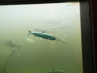
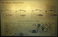
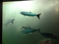 An underground low light viewing room offers five large glass windows to watch the fish swimming upstream in an upper weir as they approach the fresh water end of the ladder. The room has excellent interpretive signage offering information about the ladder and diagrams of five salmon species you will most likely see through the viewing windows. Although we have visited the fish ladder viewing area in the past, our guide shared some great information.One thing we learned is the fish often mill around lingering in each weir.
  This allows their body to literally change its physiology adapting to the progressively lower salinity of the water above the spillway dam. In more natural settings, salmon migrating up unobstructed streams spend days moving from their adult salt water environment to the brackish estuary to the fresh water of their birth place allowing for a slow change in their physiology. The salmon migrating through the Locks fish ladder have a mere few hundred yards for their bodies to make the adaptation, thus they need to take it slowly. (Video 23 sec.)
A detailed discussion of the unusual and unique design of this fish ladder is at the link below:
“The fish ladder at the Chittenden locks is unusual—materials published by the federal government say “unique”—in being located where salt and fresh water meet. Normally, fish ladders are located entirely within fresh water. … The [first] ladder was designed to use attraction water: fresh water flowing swiftly out the bottom of the fish ladder, in the direction opposite which anadromous fish migrate at the end of their lives. … The Corps rebuilt the fish ladder in 1976 by increasing the flow of attraction water and adding more weirs. … A diffuser well mixes salt water gradually into the last 10 weirs. … The fish approaching the ladder smell the attraction water, recognizing the scent of Lake Washington and its tributaries. They enter the ladder, and either jump over each of the 21 weirs or swim though tunnel-like openings. They exit the ladder into the fresh water of Salmon Bay. … The offspring remain in the fresh water until they are ready to migrate to the ocean as smolts [juvenile fish].” Fish Ladder, Wikipeida
We had been wondering about large white tubes we saw extending from the spillway pouring out water from above the spillway dam. Our guide explained these “smolt flumes” were inserted into the spillway during spawning season to provide a safe route downstream for the smolt as they made their journey to the sea where they will live their adult life. They actually face upstream and swim against the current as they are carried backwards through the flumes. For scientific purposes the flumes have counters built into them so can keep track of how many smolt pass through. You can view additional photos at My Ballard and KelliTravels.com.
Carl S. English Jr. Botanical Gardens
 The tour had begun inside the auditorium with a short video and introduction by the Park Ranger guide. As we exited the visitor center and walked toward the locks, we paused only briefly on the main path in the Carl S. English Jr. Botanical Garden for our guide to give us some history about the gardens and a few antidotal stories. “Carl S. English was hired in 1931 by the U.S. Army Corps of Engineers to transform the gravel lot remaining from the construction of the newly completed Hiram M. Chittenden Locks into a grassy field which could be used for marching, training drills and public events. Instead, he took it upon himself to bring to life an elaborate, English-style landscape garden which today boasts over 1500 varieties of plants from around the world.” [You can read more at Atlas Obscura] The fun antidotal story I remember: No other US Army Corps of Engineers site has a “garden” and years into English’s work, a visiting superior found not a flat marching drill grounds but the sculptured landscaped garden. The superior ordered English to remove the garden and put in a large flat grassy field. English said he would be happy to comply but would the superior please communicate to the University that the garden was to be removed; the University had by this time established a curriculum for all its botany classes to do their field work at the gardens. And would the superior also please communicate to the numerous volunteers who had spent 1000s of hours helping create and maintain the garden. The superior backed down and the Ballard Locks is still to this day the only Corps facility that has a Botanical Gardens!
“This botanical garden is a tribute to the devotion of our first horticulturist, Carl S. English, Jr. During the 43 years working for the U.S. Army Corps of Engineers, Carl transformed the barren lawn, left after the construction of the locks, into a garden worthy of serious study.
Through his travels and correspondence with prominent botanists and with the assistance of ship captains returning through the locks, Carl collected specimens of trees and flowers from around the world. He brought about an amazing homecoming, the dawn redwood Previously known only as a fossil, it was discovered growing in China. Carl arranged to receive some of the first seeds ever shipped to the United States. Eight specimens grow in the garden today.
These lovely grounds are a masterpiece of horticultural splendor, combining the elegant lines and vistas of the romantic English landscape style with the original character of more than 570 species and 1,500 varieties from around the world.” Botanical Gardens, US Army Corps of Engineers
We had enjoyed walked through the lovely and colorful gardens the day before so didn’t miss moving straight on to the canal and locks. The free guided tour was fascinating and I would recommend it if you are in the Seattle Ballard area.
 We topped off the day enjoying wine and pupus with our hosts in their garden, taking advantage of the sunny, warm evening and then shared a wonderful dinner together on our last evening in Seattle. Tuesday morning, once the Seattle rush hour traffic subsided, it would be time to head south and on to the next phase of our adventure.
Photo and Video Credit: Neil Rhoads
Photo Slider: This post has a unique slider with pictures from this adventure only. I hope you click into the webpage so you can see the slider in action.
Photo gallery below:
Clicking on any photo thumbnail brings up the full size photo with a description. To easily see them all, use the arrow buttons or keys to move through the full size gallery photos with descriptions. If you are receiving this in an email and don’t see a photo gallery below, please click into my webpage to view all the photos!


